
How can we help?
Squawker Online
Squawker PC Manual
- The Main Window at a Glance
- Connect Panel - Managing Scanner/Radio Profiles
- Range Search - Filtering by Location
- The Aviation Tab - Quick Reference Lookups
- Select Database - Switching Between Datasets
- The Select Panel Toolbar - Filtering & Selecting Rows
- The Export Panel - Programmer & File Exports
- The General Panel - Reference Tools & Live Windows
- Programmer Screen at a Glance
- UBC125XLT/C Programmer - Overview & Getting Connected
- Filling a Bank — The Data Dropdown, Categories & the Overwrite Prompt
- Quick Fill - Auto-Populating Banks Near Your Location
- Editing, Sorting & Deleting Channels
- Reading, Backing Up & Restoring
- Writing to Your Scanner
- SDS100/SDS200/UBCD3600XLT Programmer Screen at a Glance
- SDS100/SDS200/UBCD3600XLT Programmer - Overview & Getting Connected
- Filling a Favorites List - The Data Dropdown, New Favorite & Add To
- Quick Fill - Auto-Populating a Full Set of Favorites Lists Near Your Location
- Editing, Sorting & Deleting - Favorites Lists, Systems, Departments & Channels
- Reading, Backing Up & Restoring
- Writing to Your Scanner - Mass Storage Mode
- BCT15X/UBC3500XLT/UBC800XLT Programmer Screen at a Glance
- BCT15X/UBC3500XLT/UBC800XLT Programmer - Overview & Getting Connected
- Model Differences - BCT15X, UBC3500XLT & UBC800XLT
- Filling Systems & Groups - Quick Fill, the Data Dropdown & Add To
- Editing, Sorting & Deleting Systems, Groups & Channels
- Reading, Backing Up & Restoring
- Writing to Your Scanner
- BCD160DN/BCD260DN Programmer Screen at a Glance
- BCD160DN/BCD260DN Programmer - Overview & Getting Connected
- Filling a Bank - The Data Dropdown & the Overwrite Prompt
- Quick Fill - Auto-Populating Banks Near Your Location
- Editing, Sorting & Deleting Channels
- Reading, Backing Up & Restoring
- Writing to Your Scanner
Interactive Map
WTRBrowser
Active Mil
UKAFG Printed Guide
About This Map – Data Sources & Disclaimer
Summary: What the map’s data is (and isn’t) suitable for.
You’ll see a disclaimer badge on the map — tap or click it any time to open a short explanation of what the map shows and how it should be used.
In short: the UKAFG Map combines live and reference data — airspace boundaries, flight tracking, marine traffic, weather, and navigation aids — for educational and situational-awareness purposes only. It is not an aeronautical chart and must not be used for operational flight planning or navigation. Always refer to official, current aeronautical publications (AIP, NOTAMs from your official source, etc.) for anything safety-related.
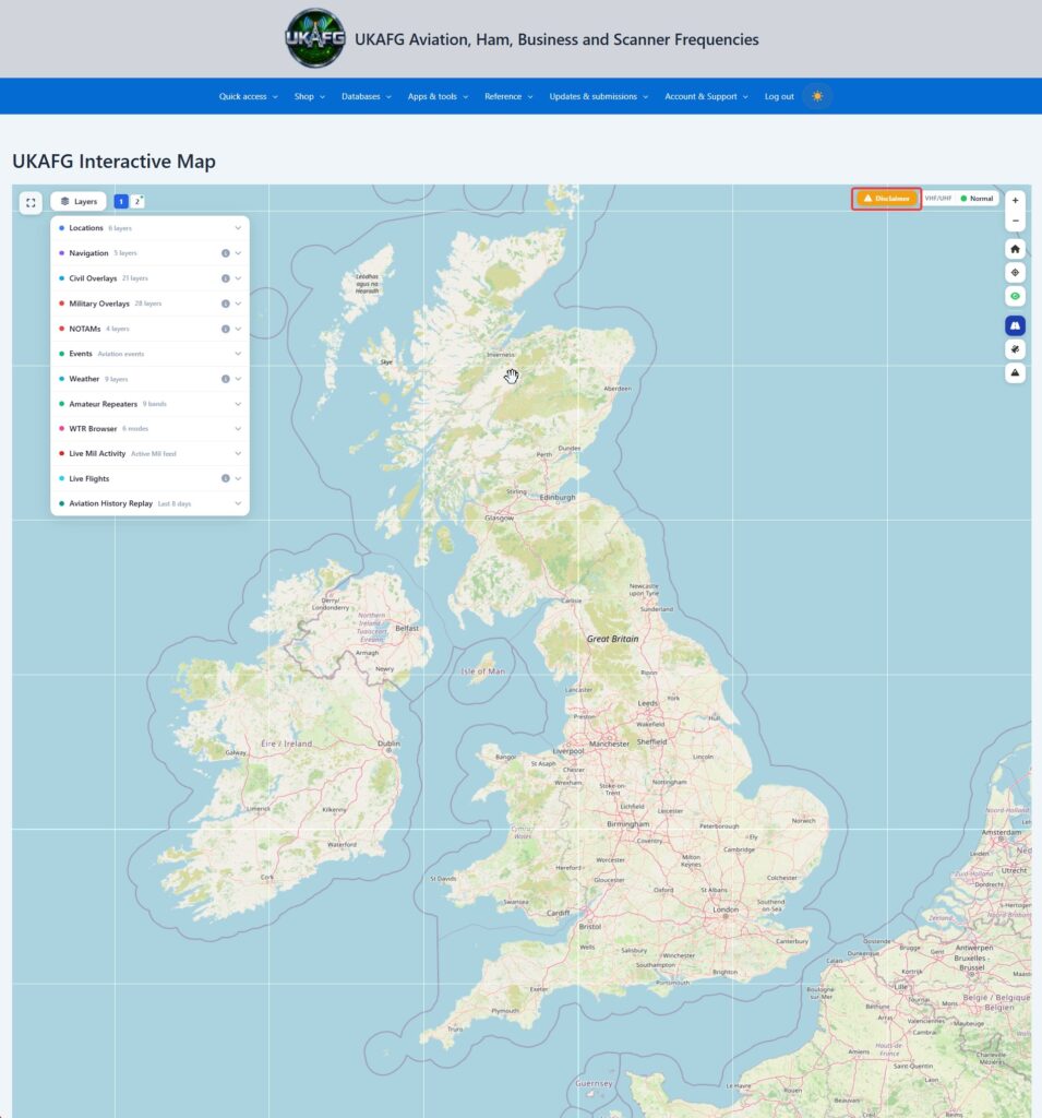
Table of Contents